Upgrade to High-Speed Internet for only ₱1499/month!
Enjoy up to 100 Mbps fiber broadband, perfect for browsing, streaming, and gaming.
Visit Suniway.ph to learn
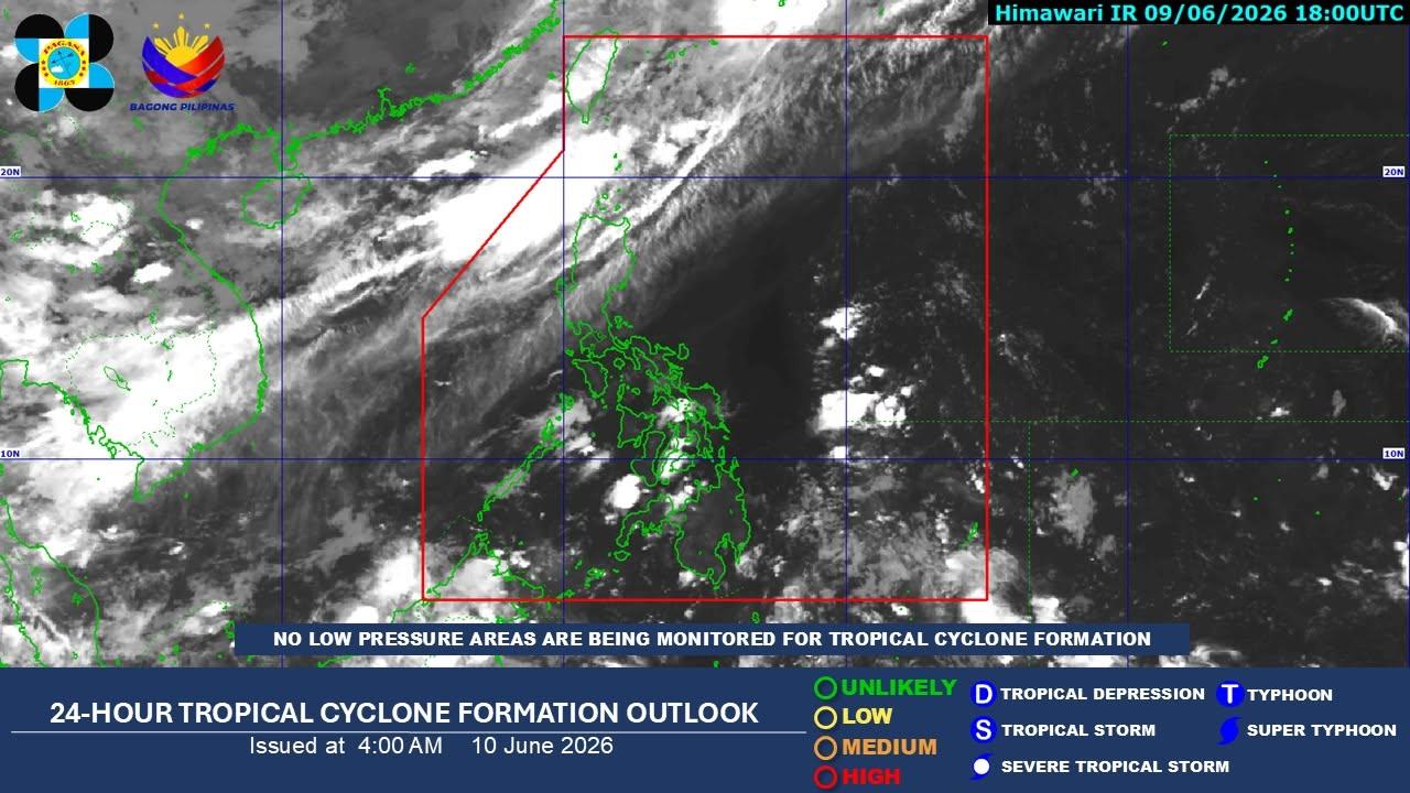
Satellite rendering shows Tropical Storm Domeng taken as of 4:30 a.m. on May 29, 2026.
PAGASA via Facebook
MANILA, Philippines — Tropical Storm Domeng entered the Philippine Area of Responsibility (PAR) early Friday morning, May 29, but is unlikely to make landfall in the country, state weather bureau PAGASA said.
In its 5 a.m. advisory, PAGASA said Domeng was spotted 1,345 kilometers east of Southeastern Luzon, packing maximum sustained winds of 75 kilometers per hour near the center and gusts of up to 90 kph.
The tropical cyclone was moving northwestward at 20 kph.
As of Friday morning, no tropical cyclone wind signal had been raised over any part of the country.
Despite remaining far from land, Domeng is expected to enhance the southwesterly windflow, which may bring heavy rains over the western portions of the country beginning Sunday, May 31.
PAGASA said a weather advisory may be issued on Saturday in anticipation of possible heavy rainfall.
The weather bureau added that the hoisting of tropical cyclone wind signals over Extreme Northern Luzon remains unlikely, but is not ruled out.
Strong to gale-force gusts may affect most parts of the Visayas and several areas in Luzon and Mindanao beginning Saturday, especially in coastal and upland communities exposed to winds.
Among the areas that may experience strong winds are Batanes, Cagayan, Pangasinan, Zambales, Bataan, Cavite, Batangas, Occidental Mindoro, Oriental Mindoro, Romblon, Marinduque, Masbate, Albay, Sorsogon and Palawan.
In Mindanao, affected areas include Zamboanga del Norte, Misamis Oriental, Camiguin, Agusan del Norte, Surigao del Norte, Dinagat Islands, Sarangani, Davao Occidental and Davao Oriental.
PAGASA also warned mariners of motorbancas and similarly sized vessels to exercise caution while venturing out to sea, particularly along the eastern seaboards of Batanes, Cagayan, Isabela and Dinagat Islands, as well as the eastern and southern seaboards of Davao Oriental, where wave heights may reach up to two meters.
Domeng is forecast to continue moving northwestward until Sunday before turning north northwestward to northward for the remainder of the forecast period.
PAGASA said the storm may intensify into a typhoon by Saturday while over the Philippine Sea before gradually weakening afterward.
Domeng is expected to exit PAR by Monday, June 1.